Geology and Geologic Hazards of the Borah Peak Area
2005 Summer Field Workshop
2005
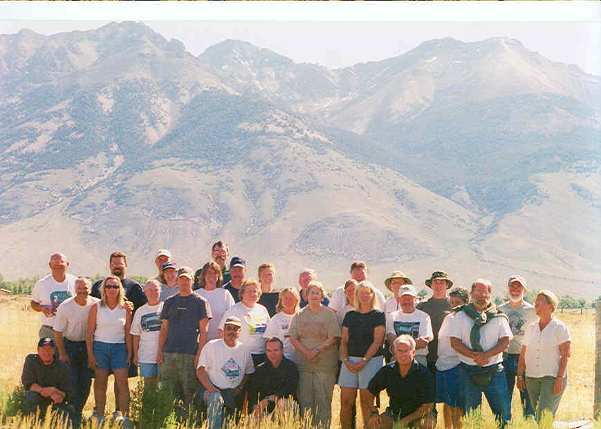
Participants (photo by
Terry Kuroda)
Introduction
The Idaho Geological Survey (IGS) holds a field workshop for Idaho
earth science teachers every summer. Academic credit is available
through the University of Idaho. In 2005, the workshop was held at the
Idaho State University Field Station at Borah Peak, near Mackay, Idaho.
This website provides a record of workshop activities. Feel free to use
any images and text on this website, but please acknowledge the IGS and
the author or photographer.
The purpose of the 2005 workshop was:
- to review earth science techniques and concepts
- to gain exposure to new earth science theories and technologies
- to explore natural hazard recognition and mitigation,
particularly those caused by earthquakes
Acknowledgments:
Support for the 2005 Workshop was provided by:
Thanks to Dan Sturgis for his help writing photo captions and
organizing this website.
We are grateful to the following people for donating their time and
energy as staff for the 2005 workshop:
Roy Breckenridge (IGS), Jim Cash (Moscow School District), Chris
Jonientz-Trisler (FEMA), Kurt Othberg (IGS), Bill Phillips
(IGS), Stephen Weiser (Idaho Bureau of Homeland Security), Mike Weaver
(IGS), Judy Walling (Meridian School District), and Gayle Worthington
(IGS)
Thanks to Randy Fiscus and everyone else who worked hard providing two
great barbecue dinners. The dinners were sponsored by IESTA and (with
Judy Walling's help), the Idaho Mining Association.
For Further Information
Contact: Bill Phillips, Idaho Geological Survey, University of
Idaho, PO Box 443014, Moscow, ID 83843-3014, phillips@uidaho.edu,
(208)885-8928
Detailed
Workshop Information (Text by
Bill Phillips, PDF file)
Participant
Presentations (PDF files)
Workshop Photos
Outside the Field
Station
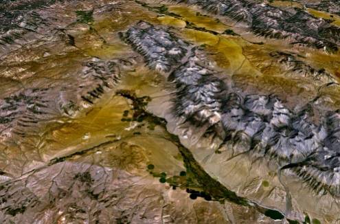
View of the Big Lost River Valley with the Lost River Range
to the right. (Image courtesy of Google Earth)
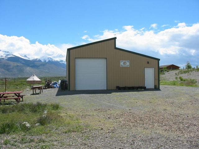
Home away from
home. Idaho
State University-Lost River Field Station (photo by Bill Phillips).
Thanks to Scott Hughes and Diana
Boyack of ISU for their help.
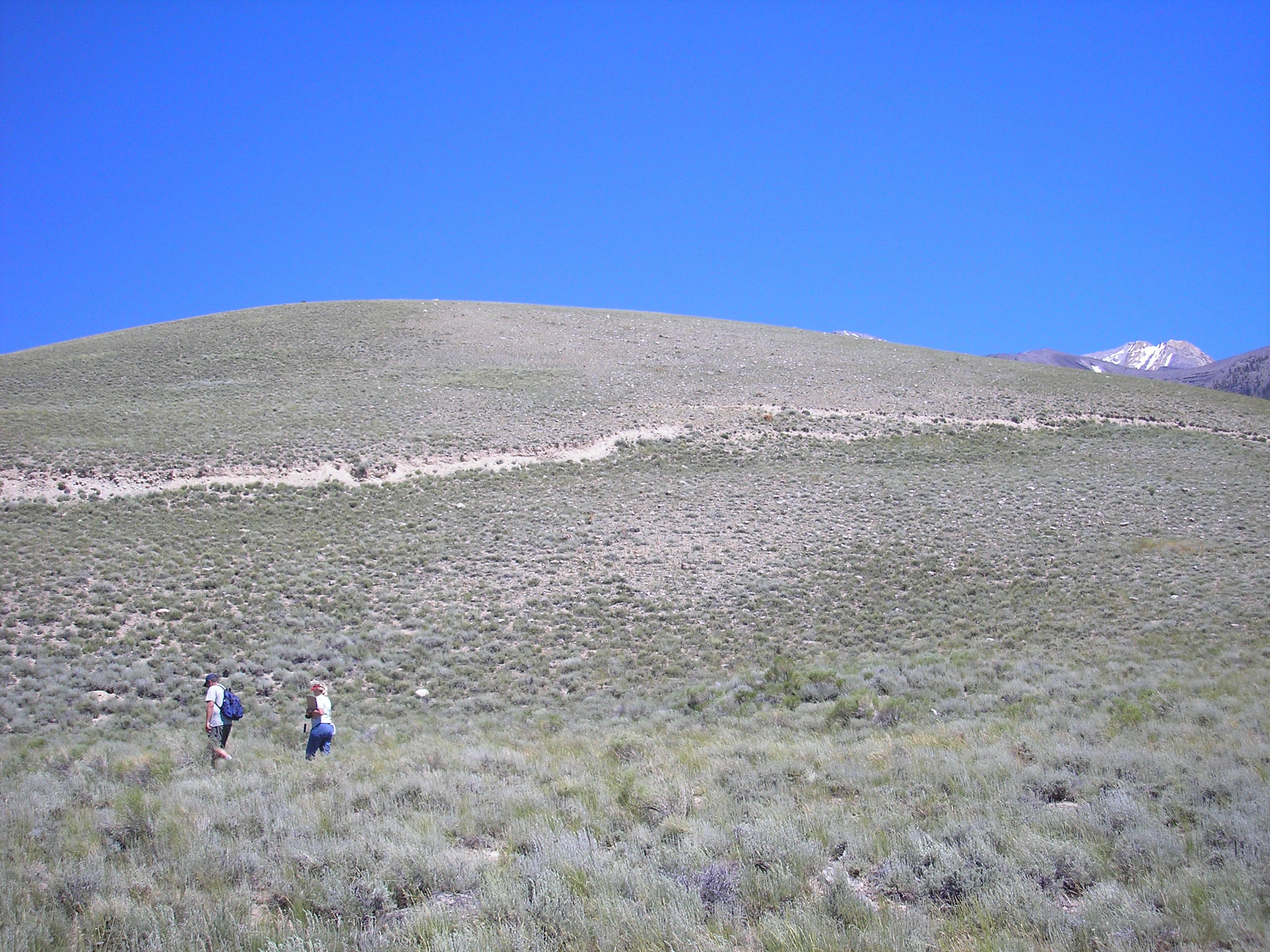
Activity on GPS operation and orienteering (photos by Bill Phillips)

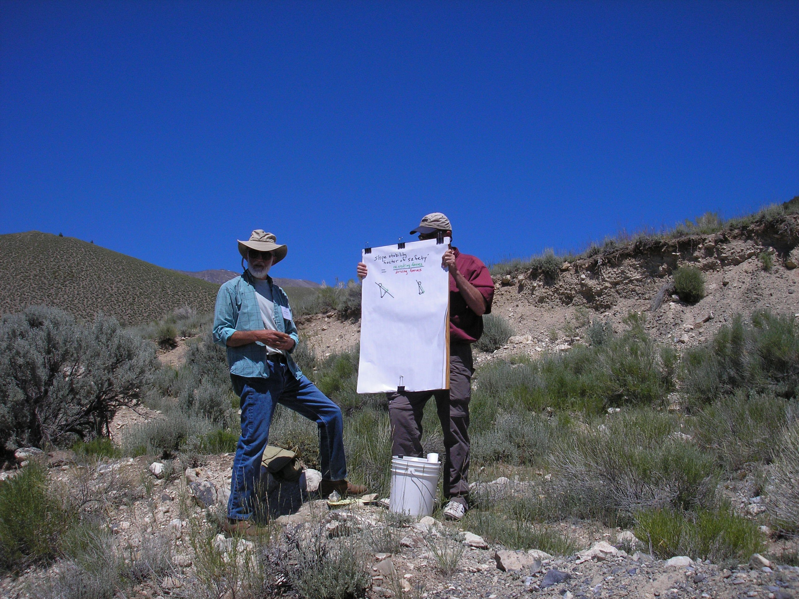
Kurt Othberg lectures on a mass wasting event related to the
1983 Borah Peak earthquake at Birch Springs. Landslide scarp can be
seen in background (photos by Bill Phillips).


Glacier Geology at its best. Roy Breckenridge discusses glacial
features found in the Lost River Range. The group is standing
next to an end moraine deposit (photos by Bill Phillips).

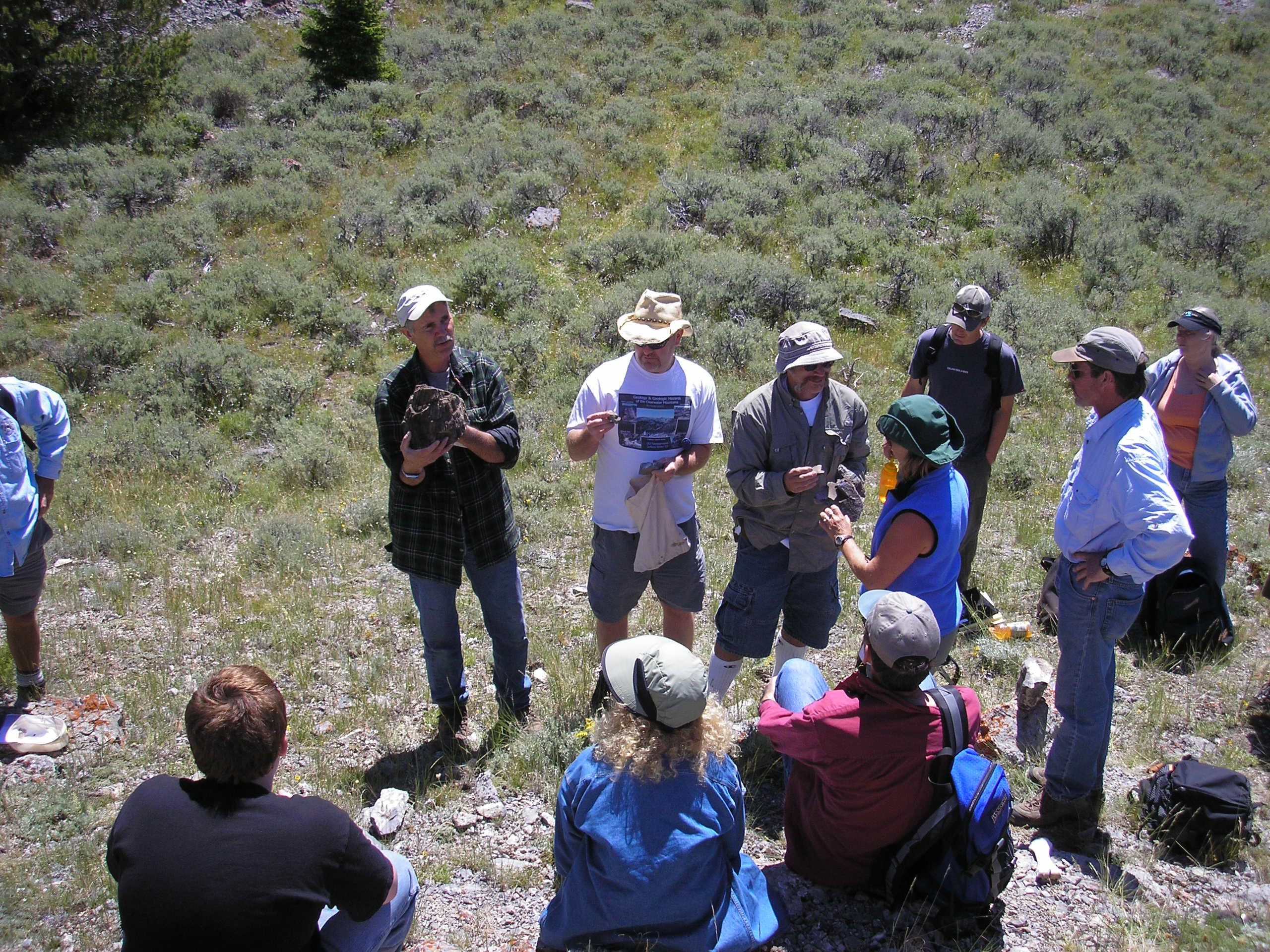
A fossil hunt for Devonian critters. Jim Cash shows others what to look
for (photos by Bill Phillips).
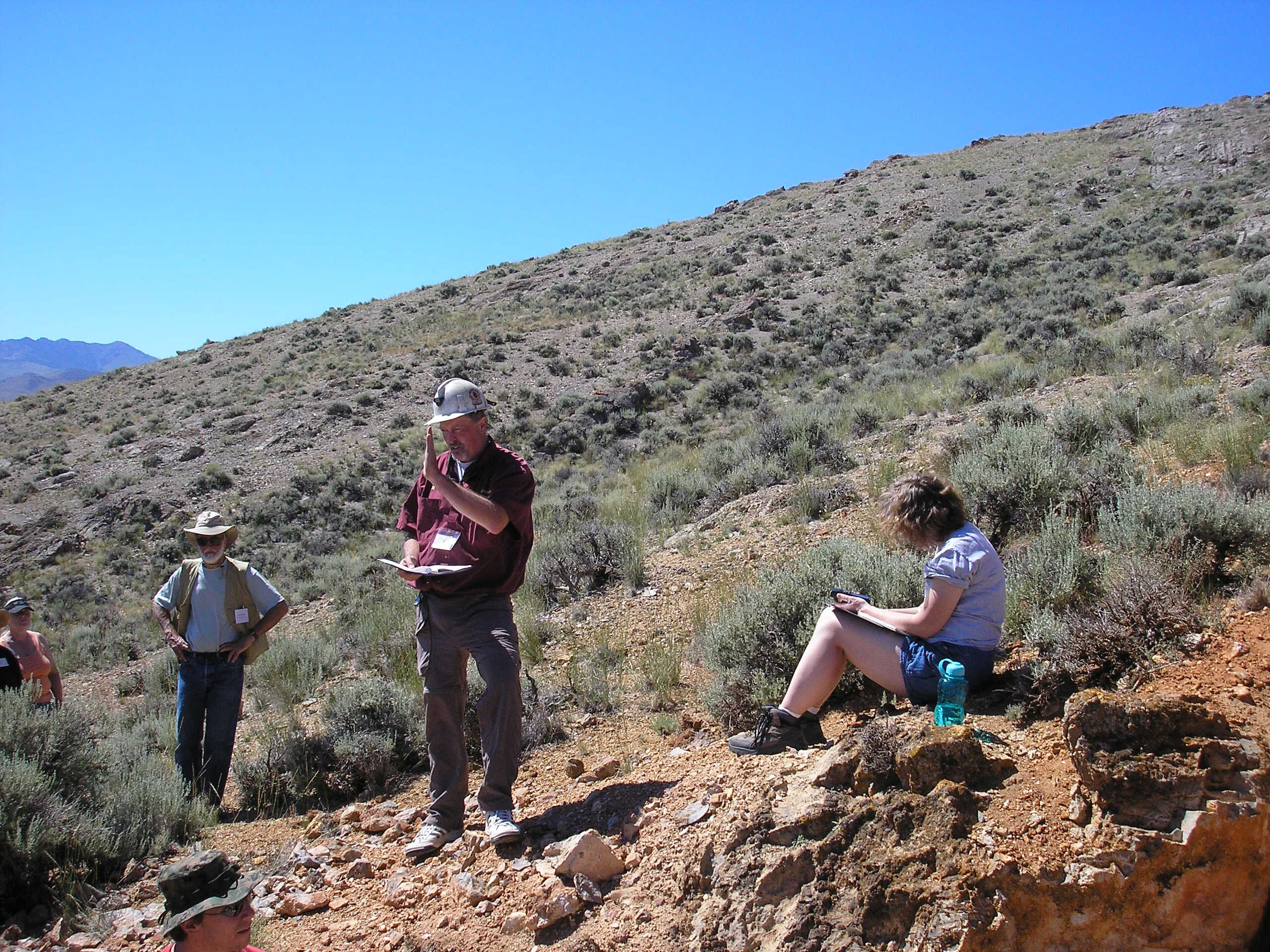
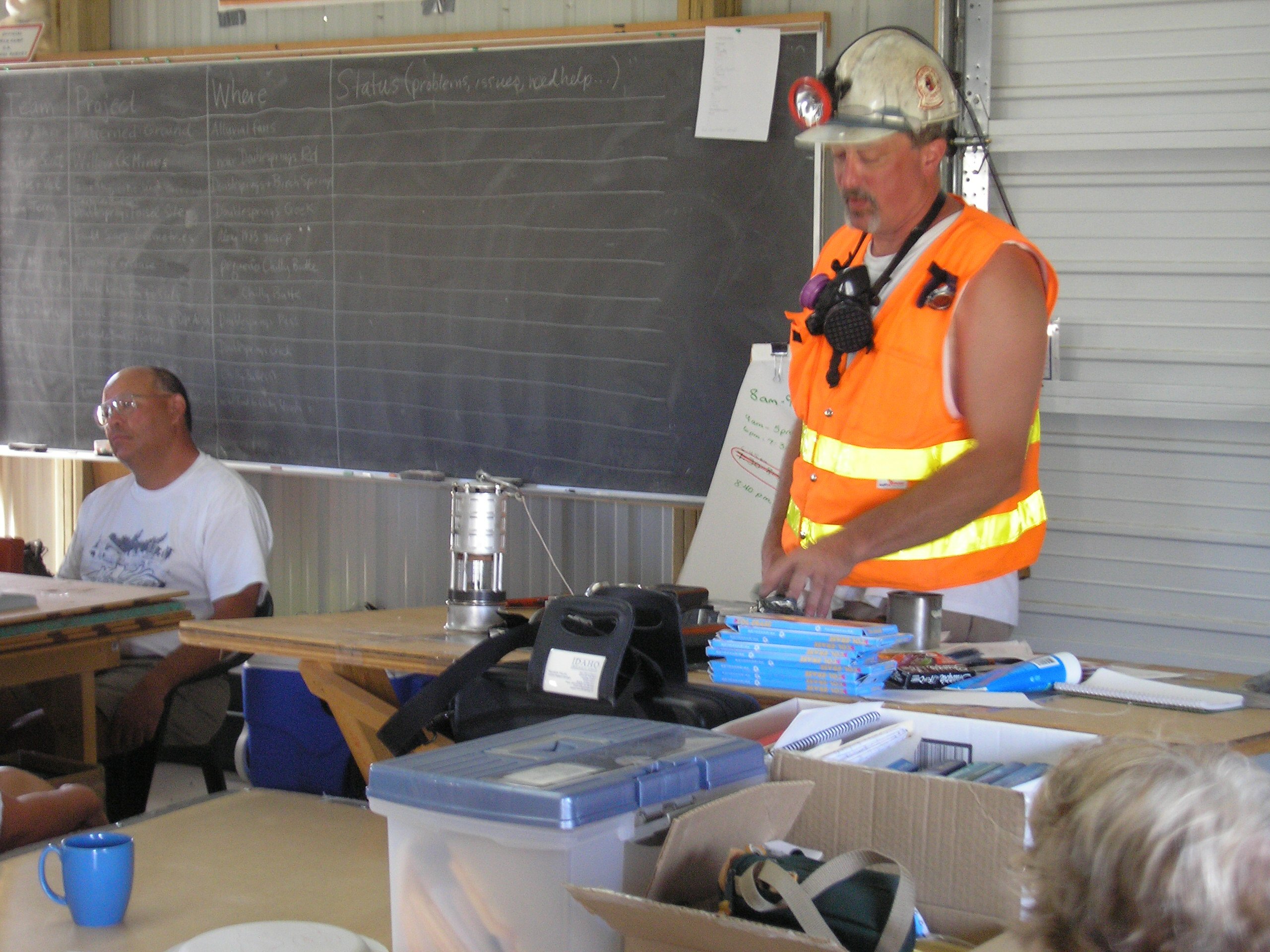
Mike Weaver lectures on the safety hazards of abandoned mines, like
this one, found throughout Idaho (photo by Bill Phillips and Jim Cash)
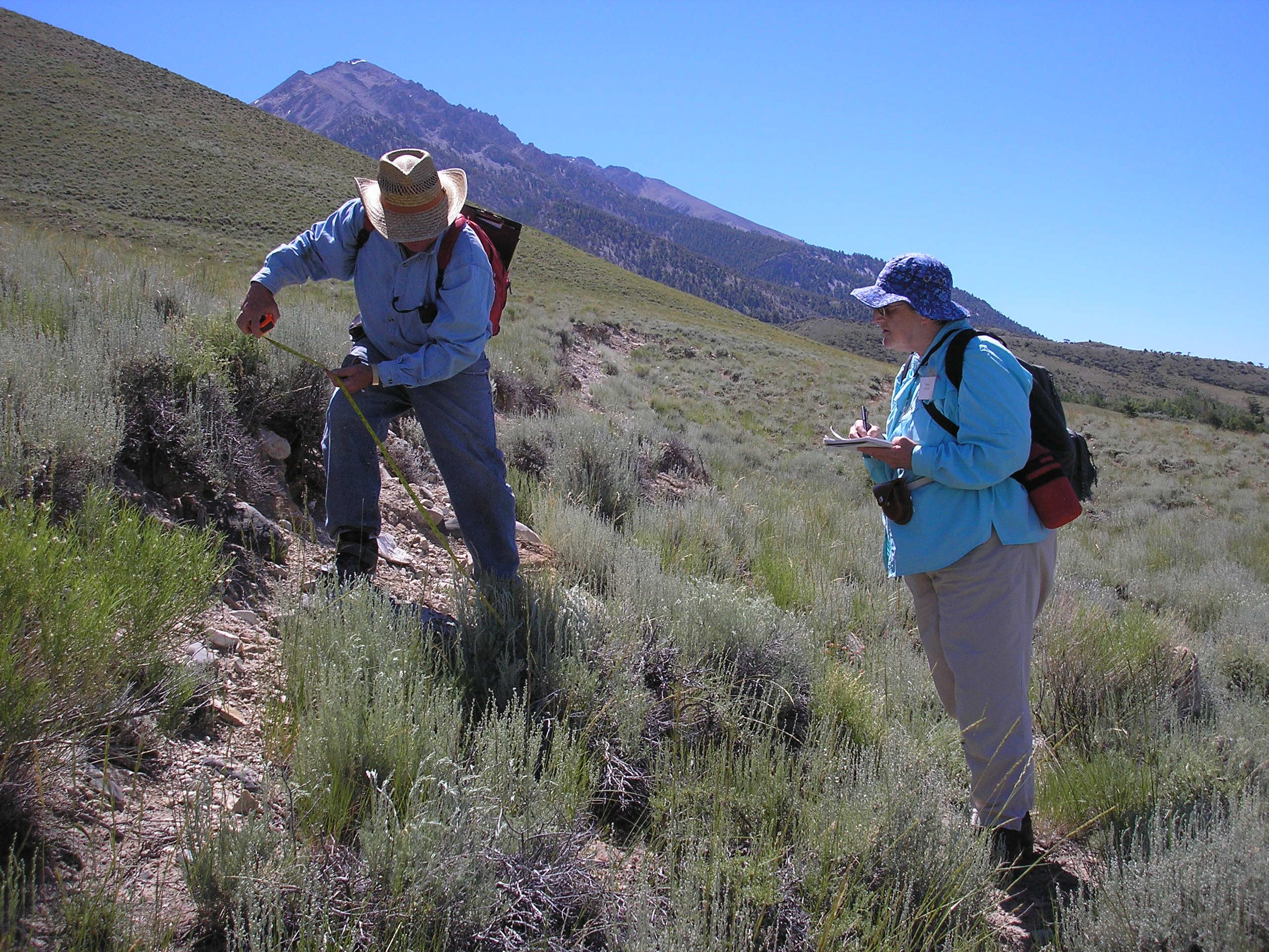

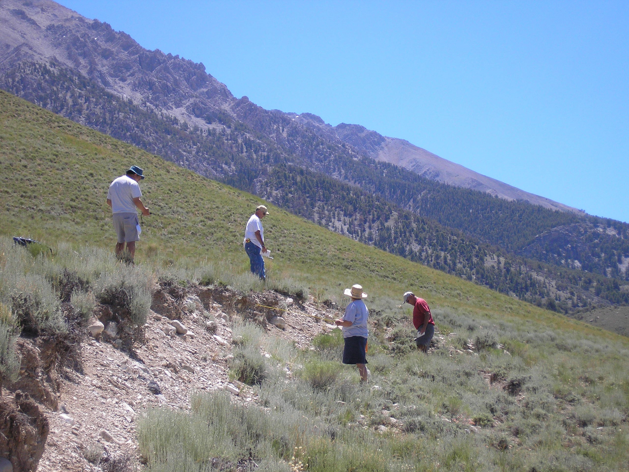
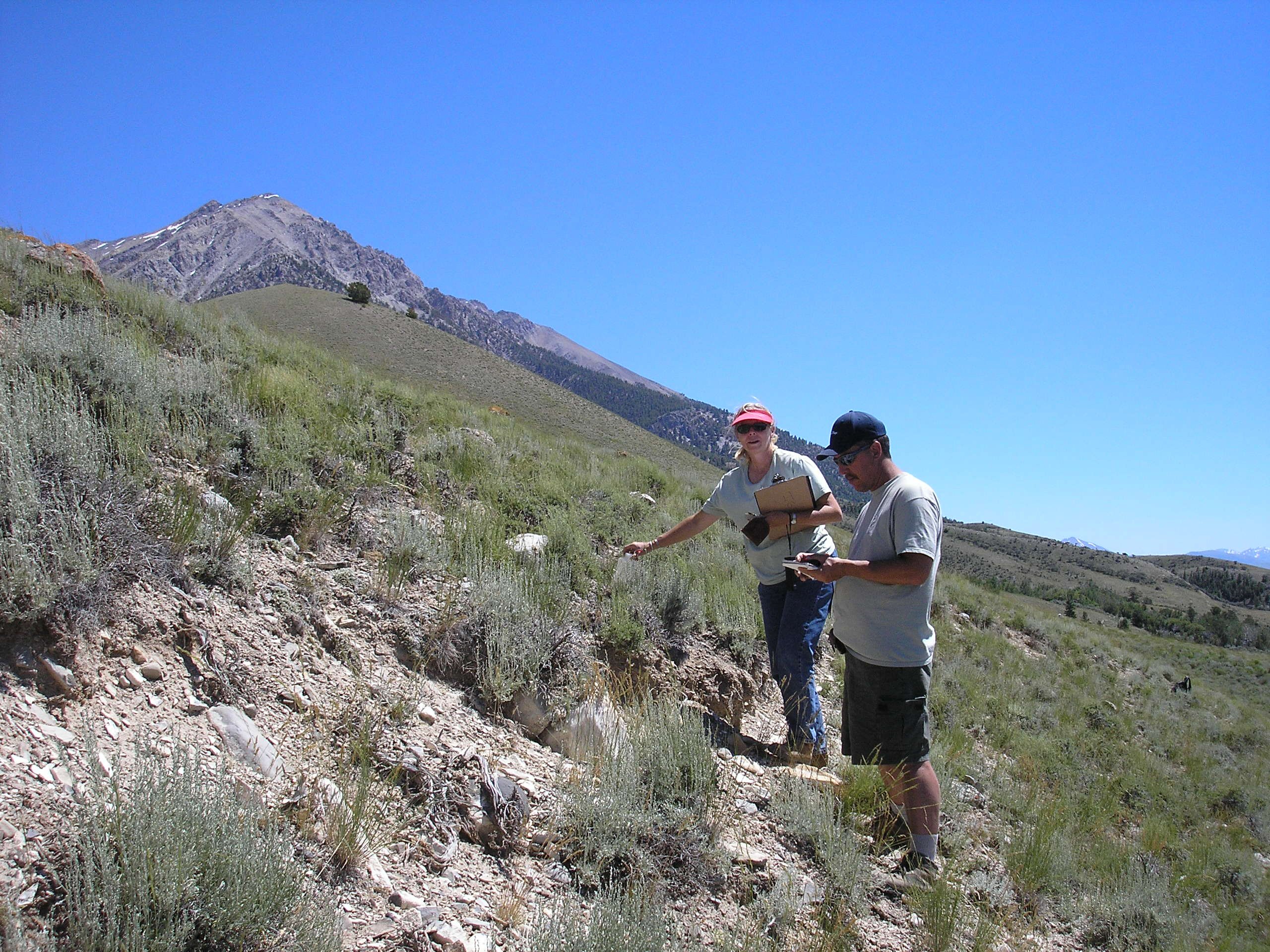
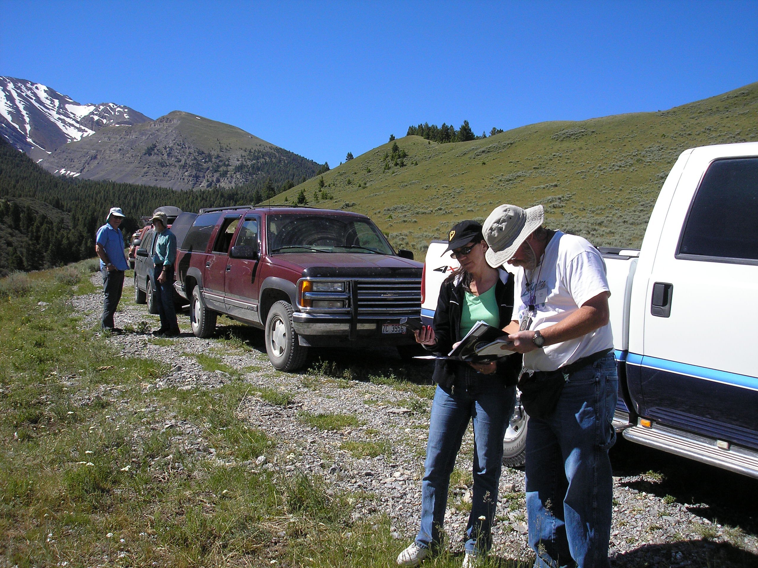
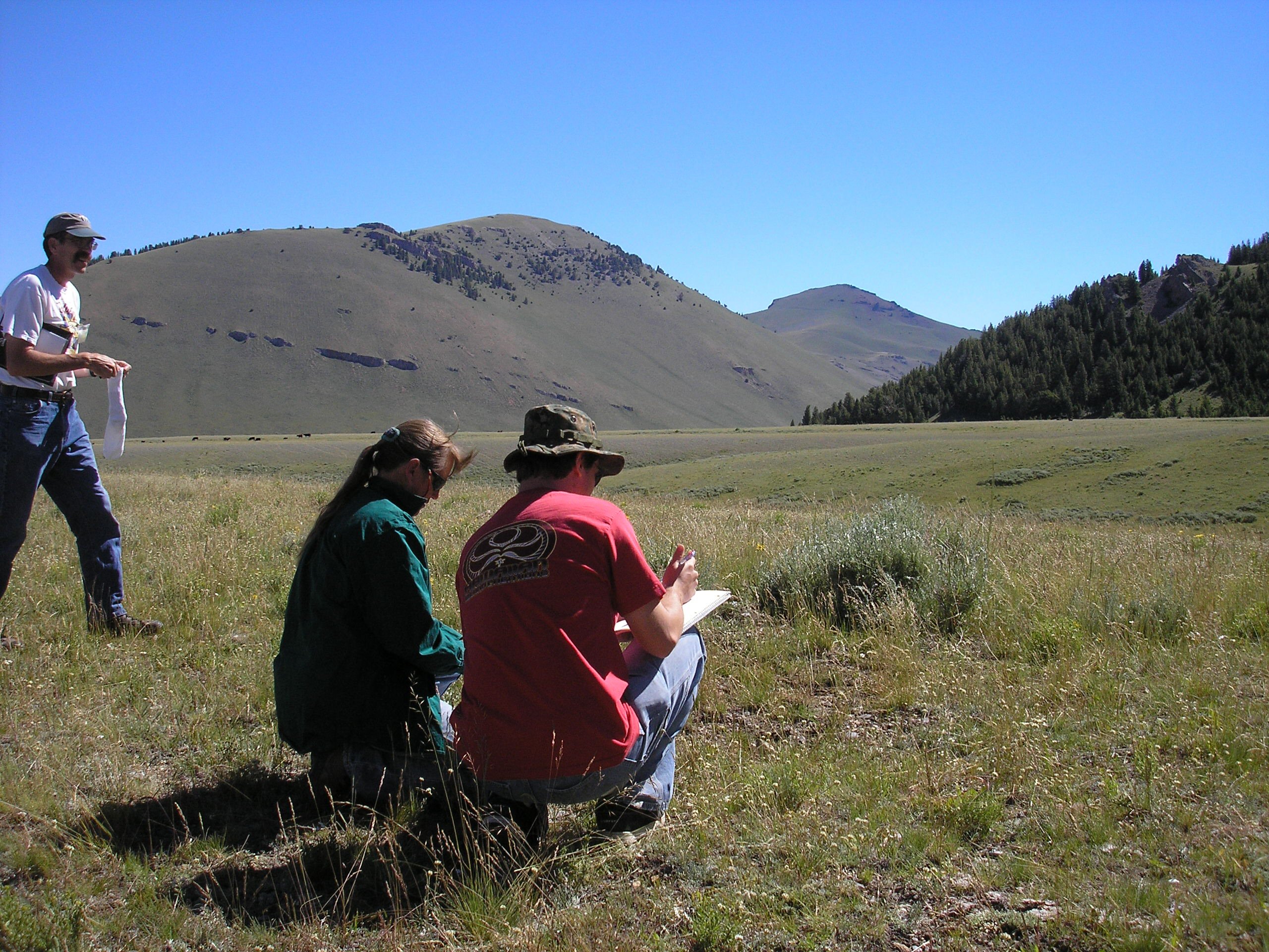
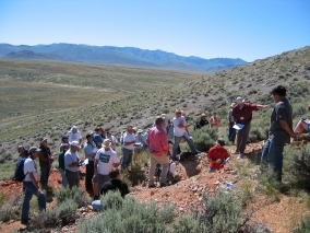
Field work along the 1983 earthquake scarp. The participants are
constructing profiles of scarp displacement using a GPS and tape
(photos by Bill Phillips)
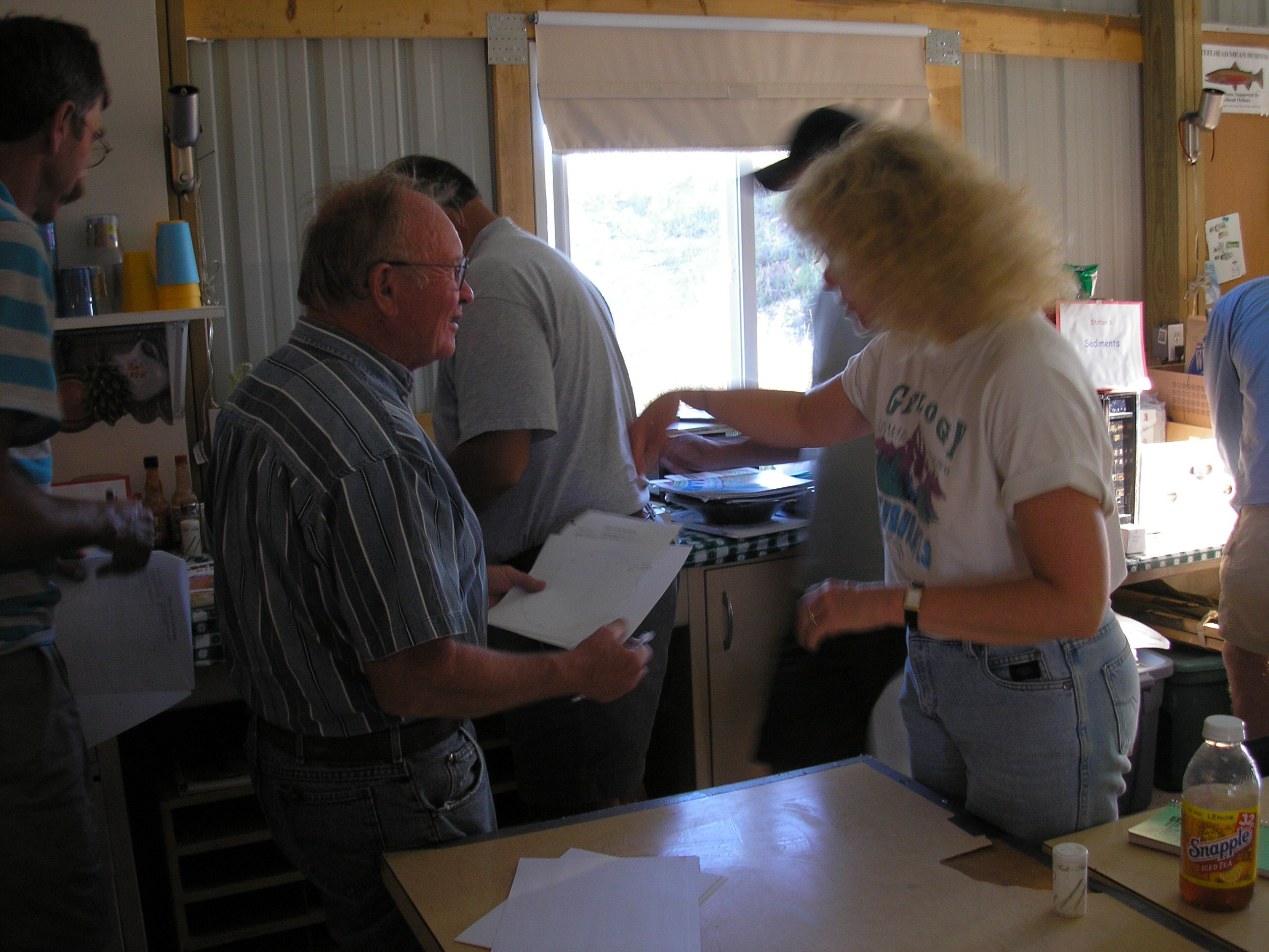
Inside the Field Station

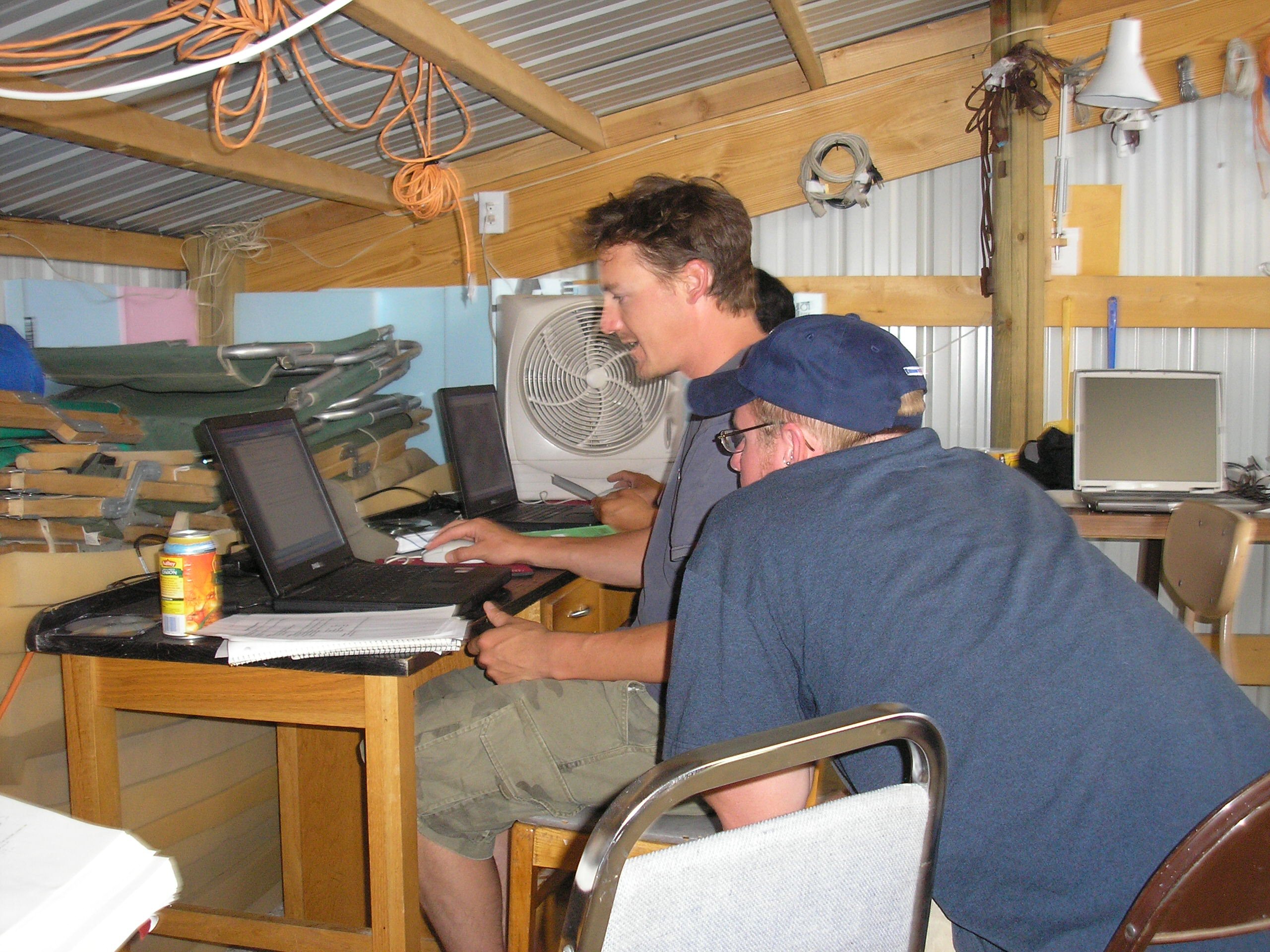
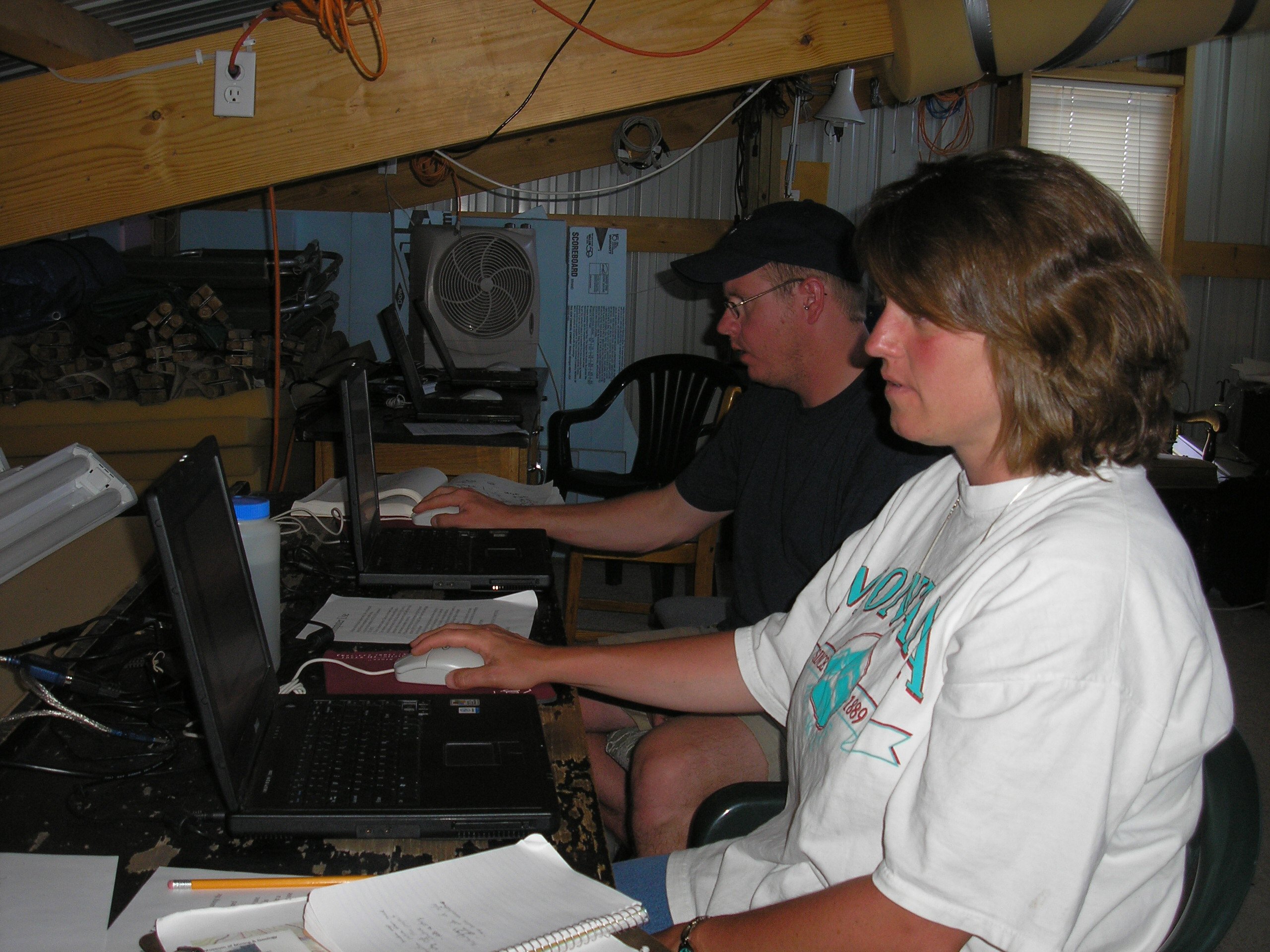
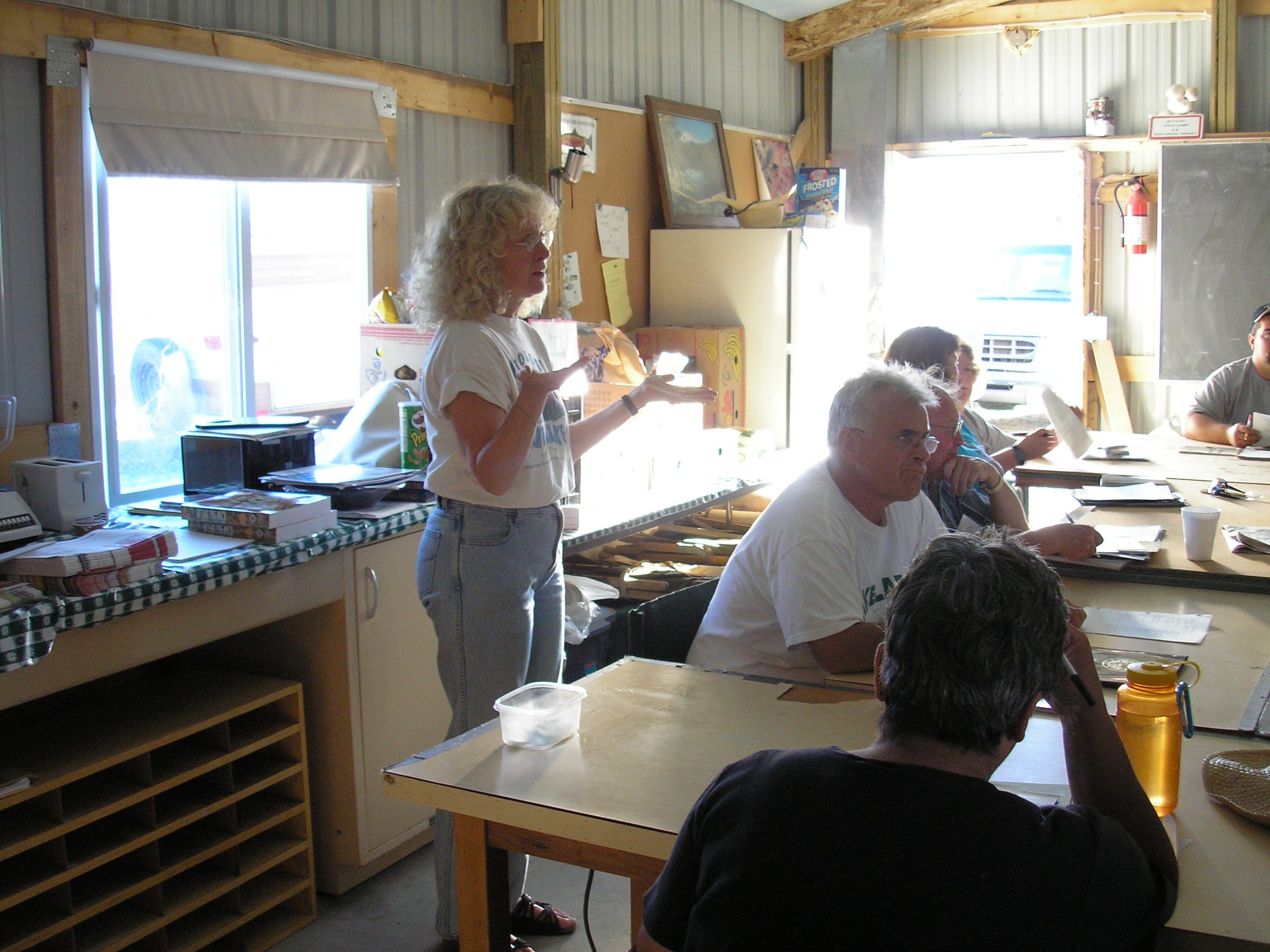
Workshop participants working hard on their presentations (photos by
Bill Phillips).
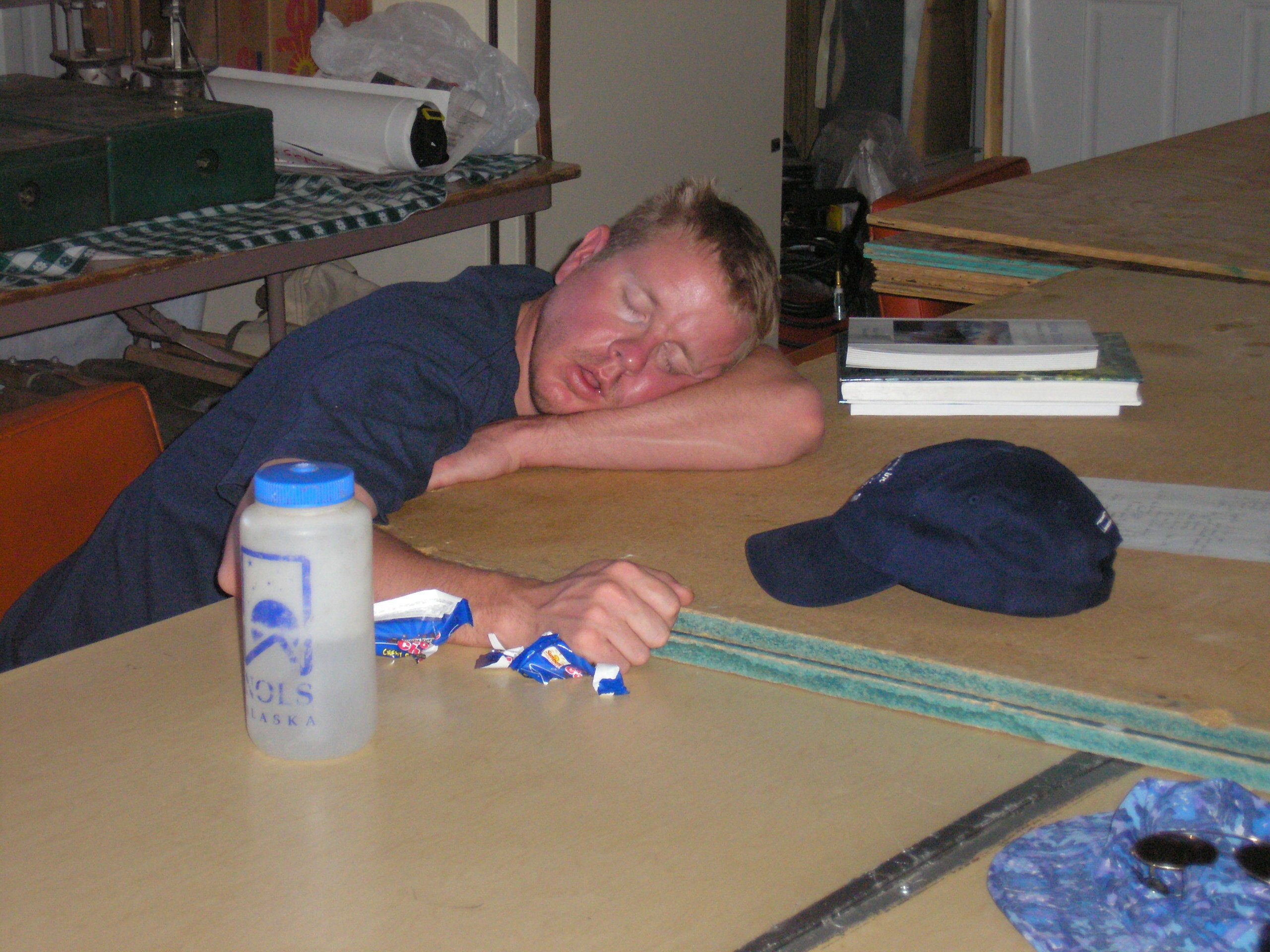
Wow, that was a powerful candy bar!
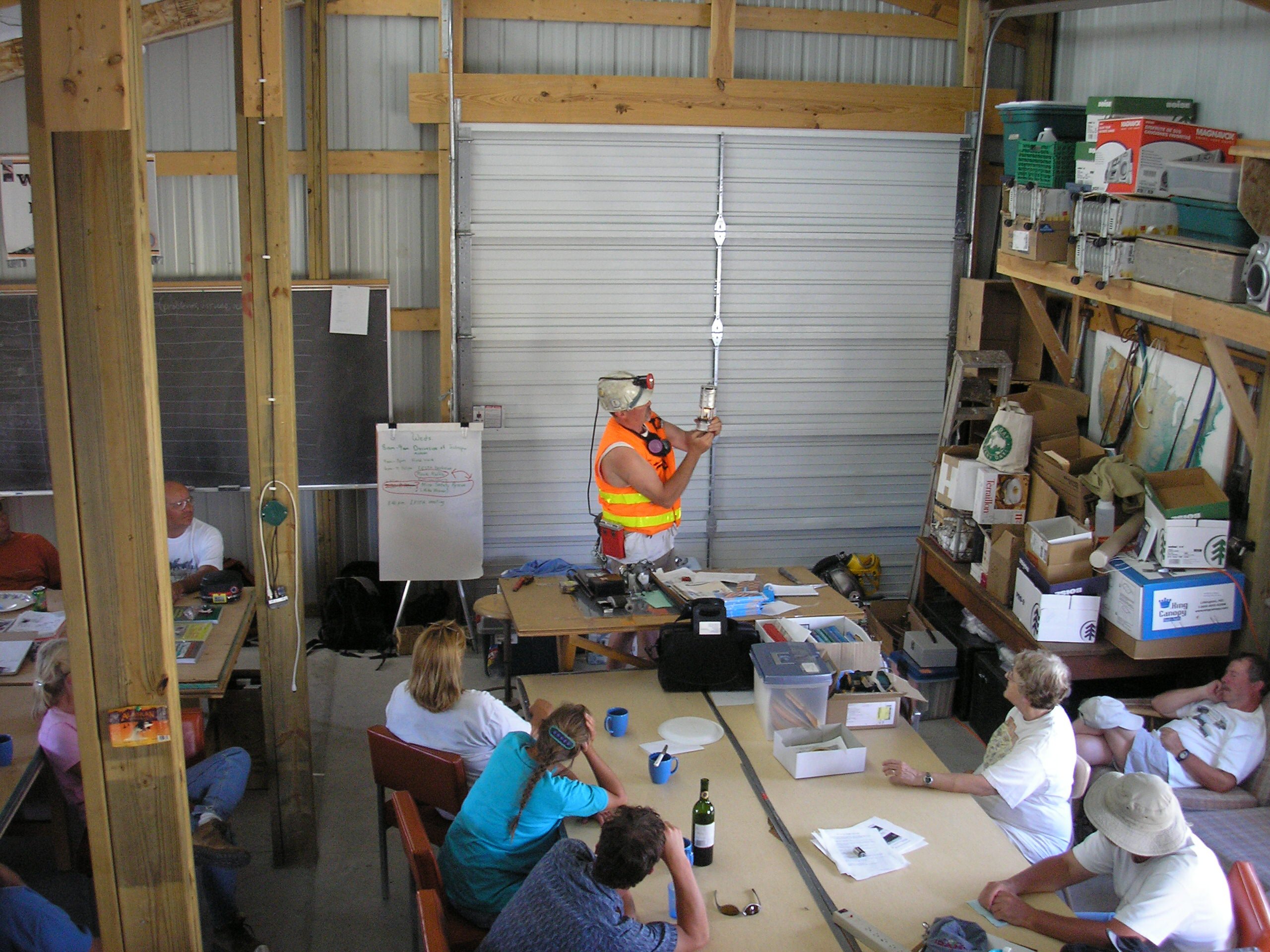
Mike Weaver delivering lecture on mine rescue.
“Out of the Rock” workshop instructed by Judy Walling.